Varna’s Walks, Private Evening Guided Tours and History
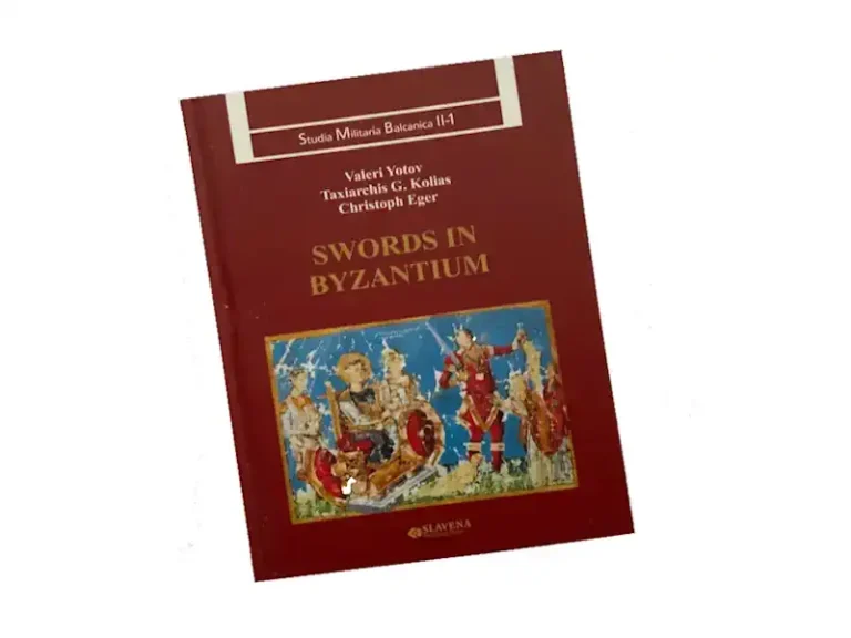
The "Studia Militaria Byzantium" from the 6th century AD to 11th century...
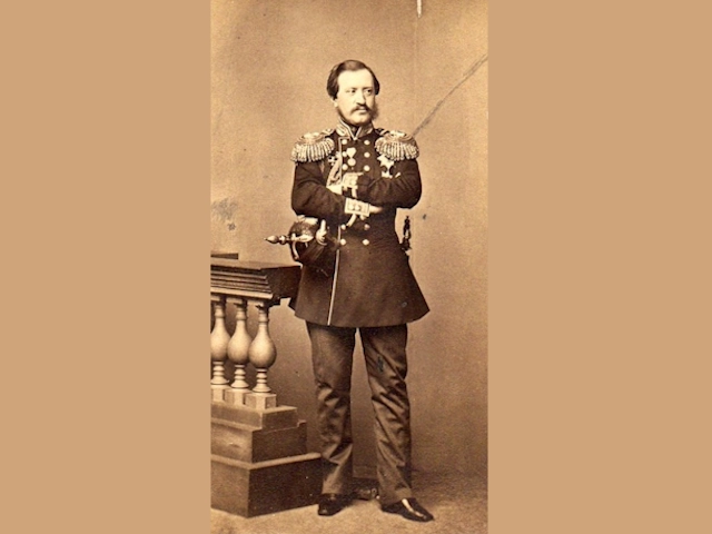
Count Nikolay Pavlovich Ignatyev a Russian diplomat with influence in the Balkans...
Explore the many Museums that Varna has to offer from ancient to present day. ...
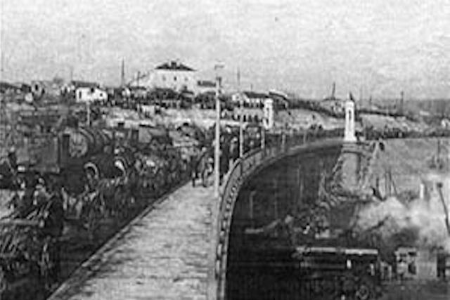
The Asparuhovo Bridge is a bridge in Varna , connecting the Asparuhovo with the city of Varna....
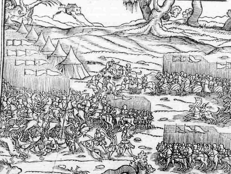
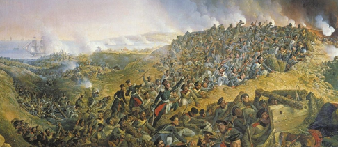
The Battle of Varna is the last battle of the Crusade of Varna, and took place on November 10, 1444 ....
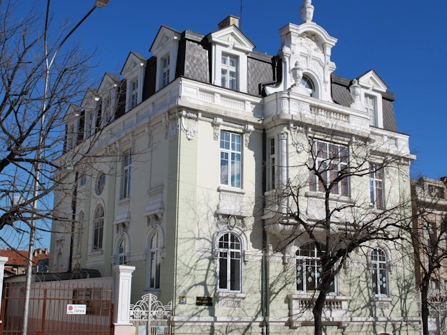
. This remarkable building was built in 1912...
VarnaEye is excited to present its new ‘15 to 20 minute’ Varna Historic City Trails, which provide you an overview of the city’s century-old history.
Together with Christian Oblakov, one of the most reputable professional history guides in Varna, we created “The Historic Trails of Varna.”
While exploring “Varna Ancients Trails of Roman and Byzantium periods,” we’ll also pay particular attention to the city’s 19th-century architecture.
Our Varna Eye History Archive is a treasure trove of Varna History and interesting anicdotes.
The cool of the evening is the ideal time to take one of our private excursions beginning at a established position within the city and lasts around two hours, during which your guide informs and presents you with the wonderful history of Varna.
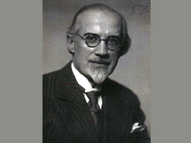
The esteemed Bulgarian composer born in Varna 1875
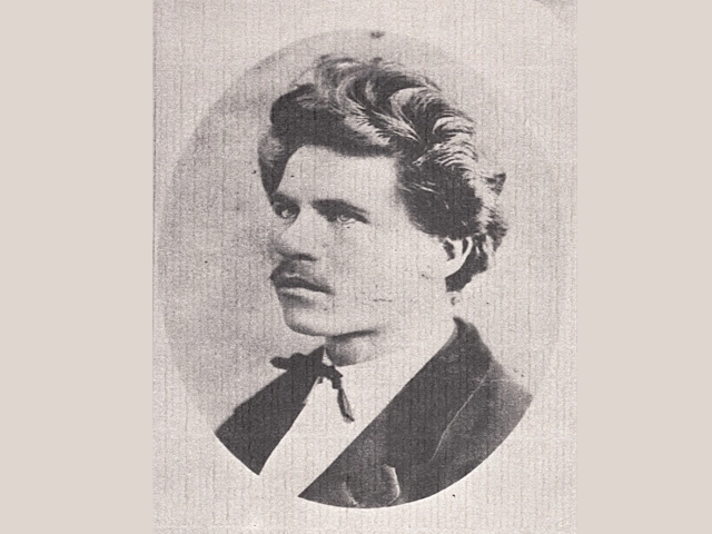
(1848-1901) prominent public figure, and esteemed statesman.
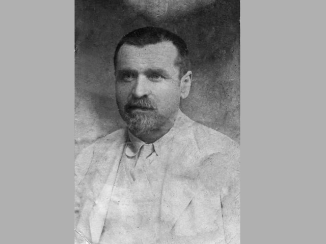
Assisted with the organizing the establishment and inauguration of the Varna Aquarium
Visit Varna the municipailities toruism website full of useful informaton.
There are only a few public toilets (1 or 2 lev) available locally, but most cafes and restaurants have them.
There are plenty to choose from , try the ones out of the way for really good value.
There are several drinking fountains dotted around, but always take a bottle of water with you.
It's best to travel light and with minimum of cash and credits cards , take only enough for the day and a bottle of water.
When crossing a road make sure you leave plenty of time and watch the traffic. The pavements are uneven so be aware.
Accessibility Tools